Maps illustrate the loss of land on James Island from 1847 when the landmass totaled approximately 995 acres to 2013 when the landmass totaled approximately 13 acres.


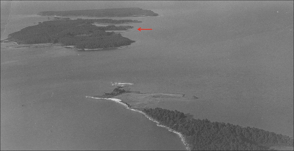
Aerial photograph of James Island in 1946 - note the same red arrow used as reference point as in the above maps.
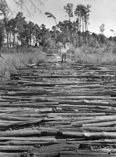
The Log Road that once existed on James Island was once used to haul equipment and machinery over low lying portions of the salt marsh on the edge of the island. Loblolly timbers were once harvested from James Island by the use of this road.

The photograph on the left taken in 1958 by A. Aubrey Bodine shows a log road that existed on James in the mid 20th century. Dr. Lowrey found the exact location of this log road and photographed it from the same angle as the Bodine photograph in 2014 to illustrate the loss of land.
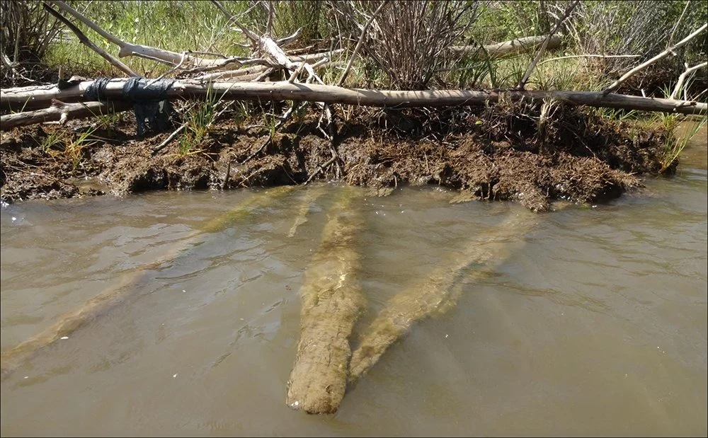
During his visit to the island in 2014, Dr. Lowrey found that the log road had been buried approximately one foot under the surface of the island due to compaction and sediment over wash of the island.

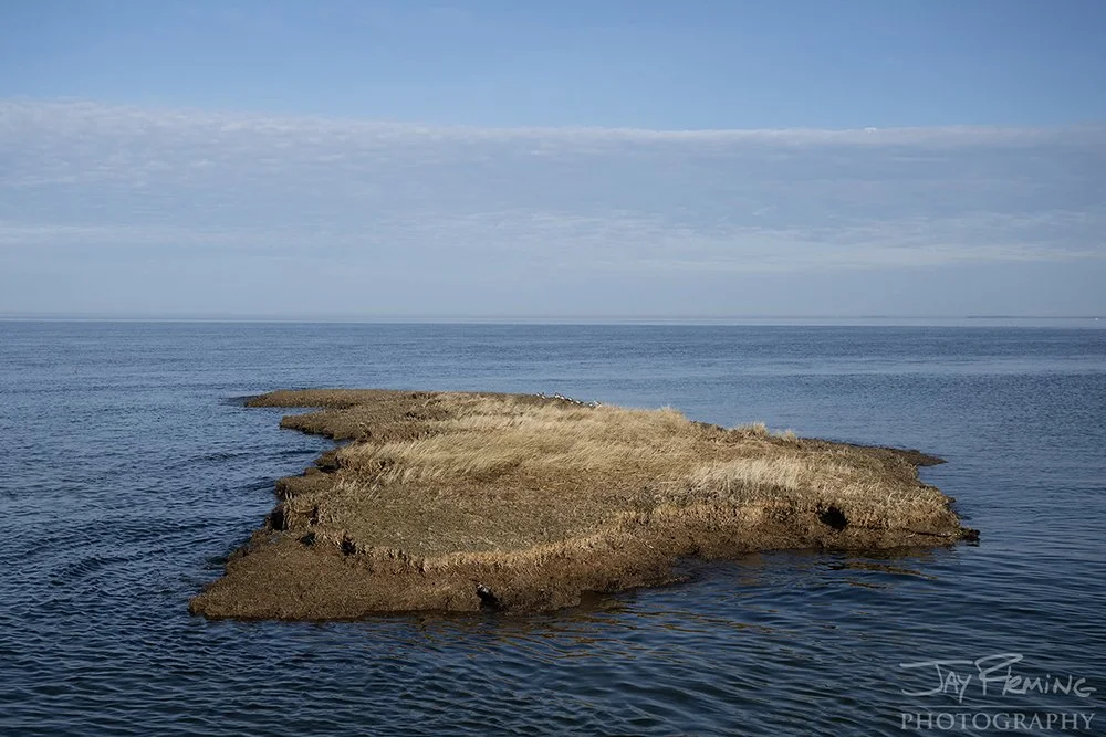
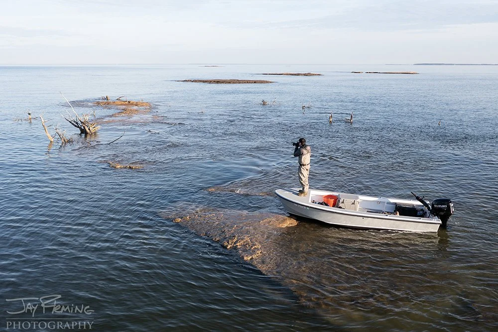
Photographs of the same fragment of James Island between 2011 and 2018. By making trips out to James during the first two decades of the 21st century, Dr. Lowrey was able to show the dramatic changes in the island’s shoreline.