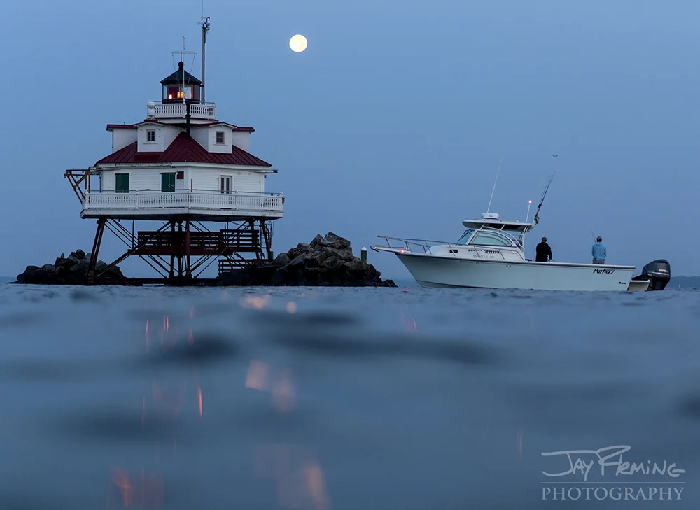
Photography is a significant component of travel these days, and Rehoboth’s Accent On Travel is proud to be a leader in this capacity by partnering and co-hosting April 2019’s exclusive 14-day exotic charter yacht trip with award-winning photographer Jay Fleming, son of National Geographic Photographer. This Galapagos bound adventure will host 14 travelers who are eager to hone their amateur or professional skillsets. If you’re supporting a loved one or are always carrying a camera around your neck, this is a once-in-a-lifetime chance to see the Galapagos Islands through a professional’s eyes.
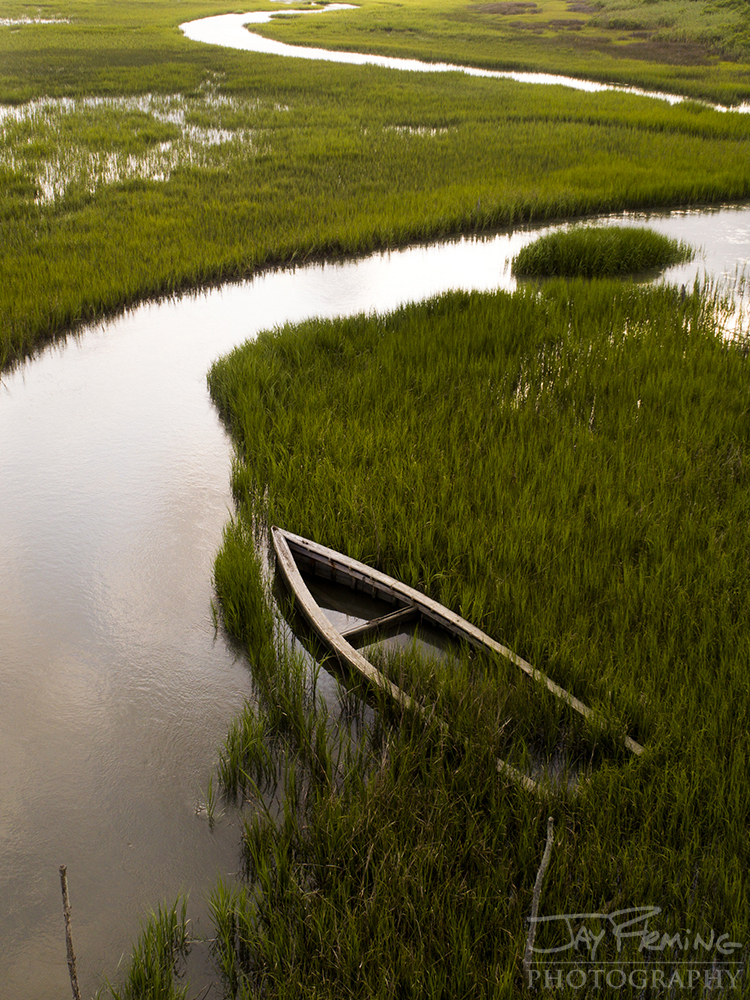
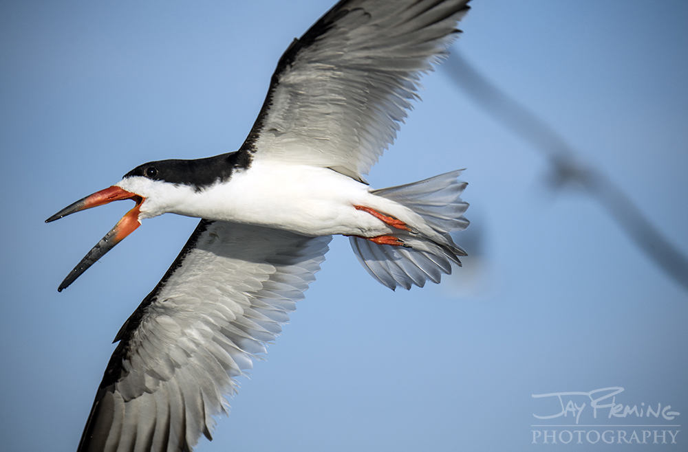
Featured in over 30 publications, Fleming is well-known for his wildlife, scenic, underwater and local photography making him an exemplary and exciting leader through the Galapagos Islands.
A frequent destination for travelers from all around the world this trip is designed to dive deeper than a typical vacation plan, offering travelers an insight into local life with an individualized touch. This simultaneous luxurious and up close and personal excursion will include four nights in the historically rich Quito, Ecuador.
Also on the agenda are three nights at the internationally recognized Finch Bay Hotel. Centrally located in the hub of the beautiful land and seascapes, shopping and highlands, our 14 guests will not only enjoy Accent On Travel’s and Jay Fleming’s hospitality, but the superior comfort and adventure the Finch Bay Hotel has elevated for years.
As the trip continues, travelers will have the privileged opportunity to follow a local fisherman, better immersing themselves in the culture and environment. Another itinerary feature is visiting the local blue-footed booby hatchery. This colorful bird found on the Galapagos Islands is estimated to include nearly half of all breeding pairs population of the blue-footed boobies.
Each day includes expert photography workshops with Fleming, as he teaches the travelers how to hone their skills, understand lighting, put their photography vocabulary to the test and much more. By the end of the two weeks, you should not only be able to handle your camera better, but you should also have a better appreciation for the outdoors, remote lands and species rarely seen.
For any interested passengers, Accent On Travel of Rehoboth Beach, Delaware will be hosting a complimentary presentation July 17, 2018, where they can meet Jay Fleming and learn more about his photo retreats, his professional instructions and the trip logistics handled by Accent On Travel. Space is limited, so RSVP is required. Call Accent On Travel’s office number at 302-278-6100 to save your seat today. Interested in other Accent On Travel cruises and trips? Visit their website at www.accentontravel.us.